01AIR
Flood Aerial Situational Awareness System
A mission-led aerial system for rapid flood-area observation, visual and thermal information collection, map annotation, and traceable incident records.
View systemSix system families cover air, water surface, underwater, ground, drainage, and command workflows. Each system is configured against the operating environment, required task, documentation, and acceptance plan.
A mission-led aerial system for rapid flood-area observation, visual and thermal information collection, map annotation, and traceable incident records.
View systemA remotely supervised surface system for floodwater route observation, sensing, and delivery of lightweight emergency or communication payloads.
View systemA remotely operated underwater system for visual search, target observation, and inspection records around submerged infrastructure.
View system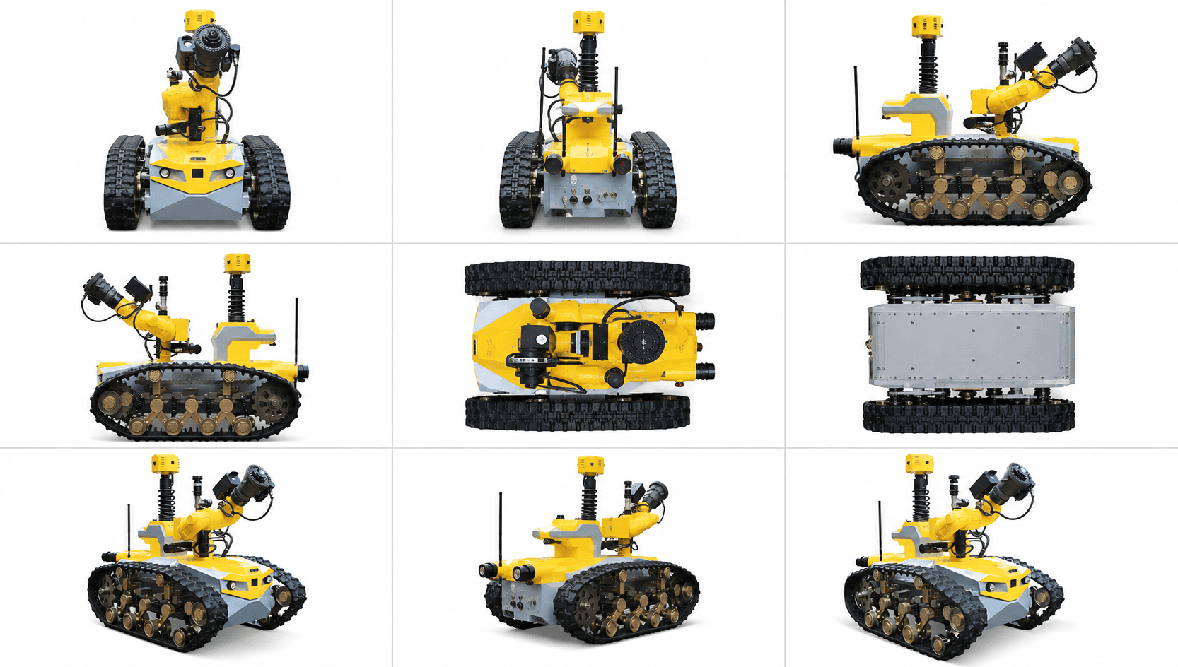
A tracked remote system for hazardous-area observation and a configurable interface for compliant suppression equipment.
View systemA remotely deployed drainage system for moving accumulated water from urban floods, tunnels, and below-ground emergency sites.
View systemA shared command layer for location, video, status, missions, alerts, asset records, and traceable incident evidence.
View systemMobility, payload, communications, environmental protection, interfaces, certification, and support can vary by project. Technical commitments are tied to the quoted configuration and current supporting evidence.
Share the operating environment, required task, hazards, documentation, quantity, and acceptance plan for a structured configuration review.
Prepare an enquiry